Global Mapper (64-bit) Review- A Comprehensive GIS Powerhouse
Read our in-depth review of Global Mapper (64-bit), the powerful GIS software for processing and analyzing geospatial data. Discover its features for terrain analysis, LiDAR, and more.
Introduction: The Power of Geospatial Data
Geospatial data—information about the physical location of objects on Earth—is essential for industries ranging from urban planning and environmental science to surveying and engineering. Managing and analyzing this data requires specialized software. Global Mapper is a leading tool in this field, offering a powerful yet accessible solution for processing, visualizing, and analyzing geospatial data. This review explores its features, its strengths, and who it’s best suited for.
What is Global Mapper?
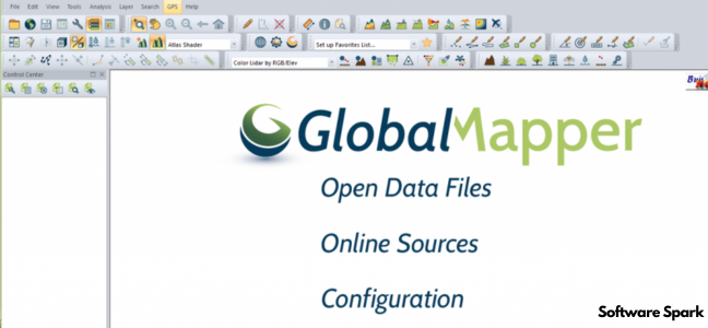
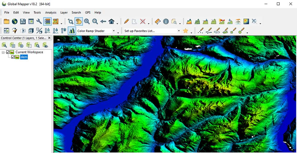
Global Mapper is a comprehensive Geographical Information System (GIS) software that provides a powerful set of tools for working with geospatial data. It is designed to be a more user-friendly and accessible alternative to complex GIS platforms like ArcGIS, while still offering advanced capabilities for professionals.
The software allows users to load, view, and combine data from over 300 different geospatial file formats, making it incredibly versatile. It excels in terrain processing, 3D visualization, and analyzing LiDAR point clouds. It is available as a free trial, but for continued use, a license must be purchased.
Key Features of Global Mapper
Unparalleled Data Format Support
One of Global Mapper’s greatest strengths is its ability to handle a vast array of file formats, supporting over 300 different geospatial data types. This allows users to seamlessly import, combine, and integrate data from virtually any source, saving significant time in data preparation.
Advanced Terrain and 3D Analysis
The software is particularly renowned for its terrain processing capabilities.
- Digital Elevation Models (DEM): Create, edit, and analyze DEMs.
- Cut-and-Fill Volume Calculations: Accurately calculate earthwork volumes for construction projects.
- Watershed Analysis: Perform hydrological analysis to model water flow.
- 3D Visualization: Generate detailed 3D models from 2D data and manipulate point clouds.
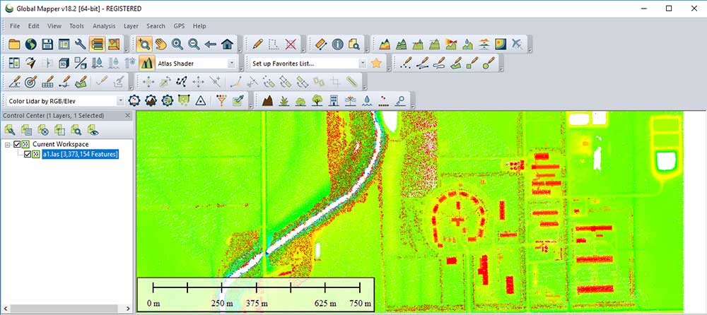
- LiDAR Processing: The software excels in handling LiDAR point clouds, which are used for high-resolution 3D mapping.
Ease of Use and Intuitive Interface
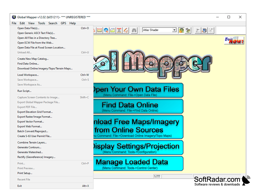
Despite its professional-grade capabilities, Global Mapper is praised for its user-friendly interface. It simplifies complex GIS operations, making them more accessible to users who may not be GIS specialists.
Automation and Efficiency
For advanced users, Global Mapper offers scripting and batch processing capabilities. This allows for automation of repetitive tasks, dramatically increasing productivity for large-scale projects.
Potential Drawbacks
- Steep Learning Curve: While the interface is intuitive, the sheer depth and breadth of features mean there is a significant learning curve for beginners to master the software fully.
- Paid Software: The software requires a paid license after the free trial.
Who Is Global Mapper For?
- GIS Professionals: For advanced geospatial analysis and data management.
- Civil Engineers: For terrain analysis, volume calculations, and site planning.
- Surveyors: For processing LiDAR data and generating maps.
- Environmental Scientists: For watershed analysis, environmental impact studies, and spatial analysis.
- Land Managers: For mapping and analyzing land use and natural resources.
Frequently Asked Questions (FAQs)
1. Is Global Mapper free?
Global Mapper offers a free trial. A paid license is required for continued use.
2. What is the difference between Global Mapper and ArcGIS?
Global Mapper is often considered more user-friendly and accessible than ArcGIS. It is highly regarded for its ease of data integration and terrain analysis. ArcGIS is a more comprehensive platform with a broader ecosystem, but it has a steeper learning curve.
3. What does a Global Mapper license cost?
The pricing for Global Mapper depends on the version and any add-ons. For current pricing information, please refer to the official website.
4. Is Global Mapper suitable for beginners?
Global Mapper is user-friendly compared to other GIS tools, but its powerful feature set still has a learning curve. Beginners can start with basic functions and gradually explore more advanced features.
5. Can I try Global Mapper before buying?
Yes, Global Mapper offers a free trial, allowing users to test the software before making a purchase.
Conclusion: A Versatile Powerhouse for Geospatial Analysis
Global Mapper is a powerful and versatile GIS tool that offers an impressive balance of professional-grade capabilities and user-friendliness. Its broad data format support, advanced terrain and LiDAR processing tools, and automation capabilities make it an indispensable asset for professionals in a wide range of fields. While the time investment to master the software is significant, its ability to streamline complex geospatial workflows makes it a highly valuable and practical solution.